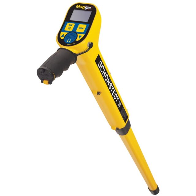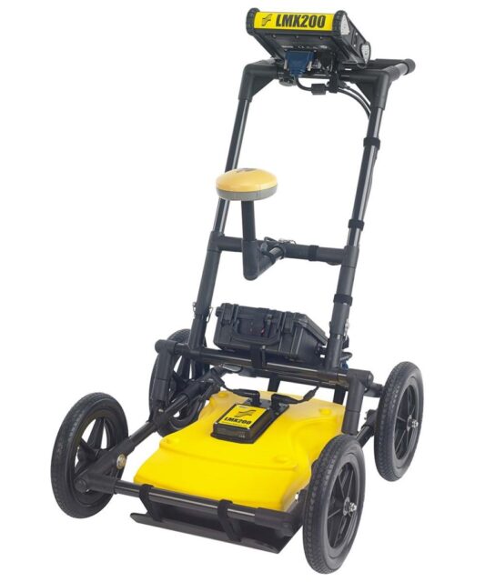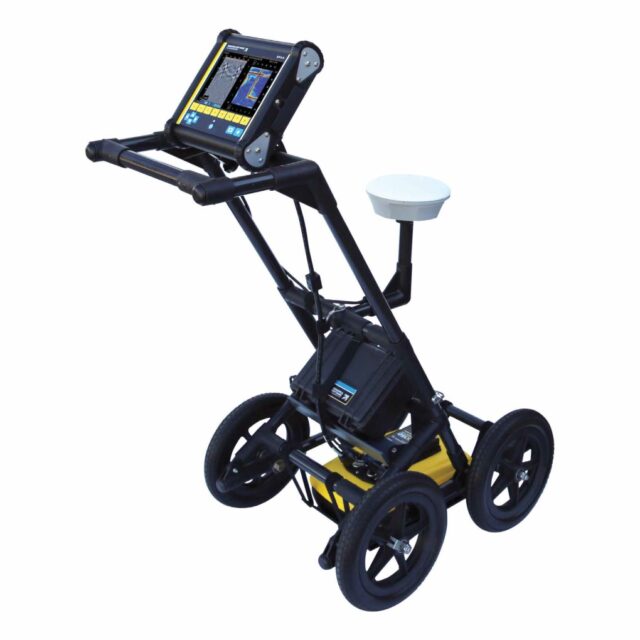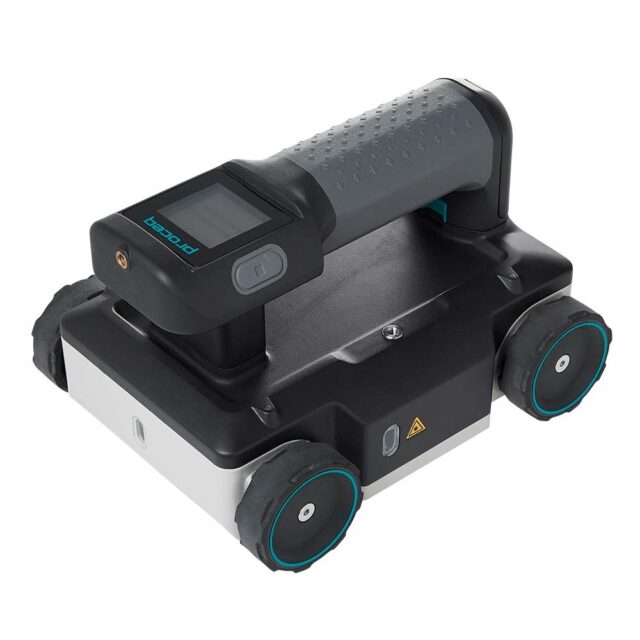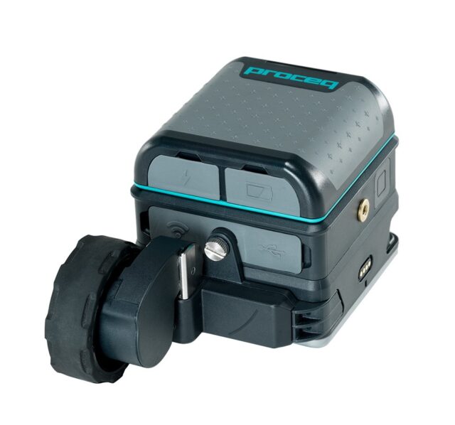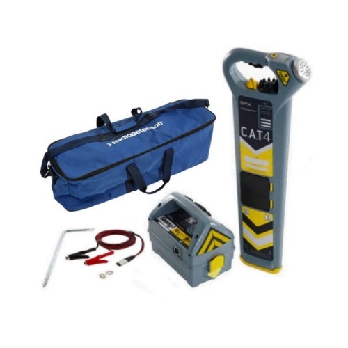




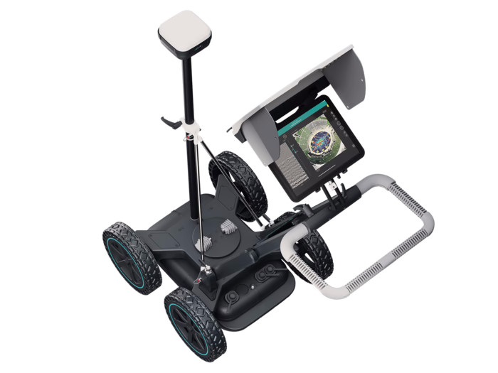
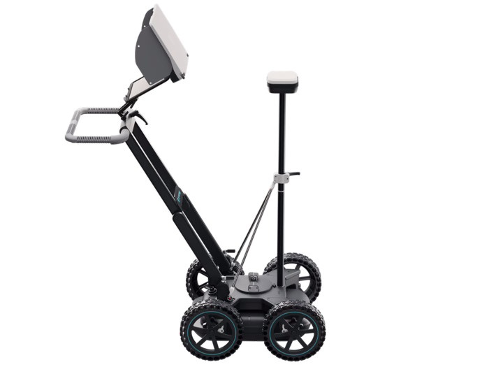
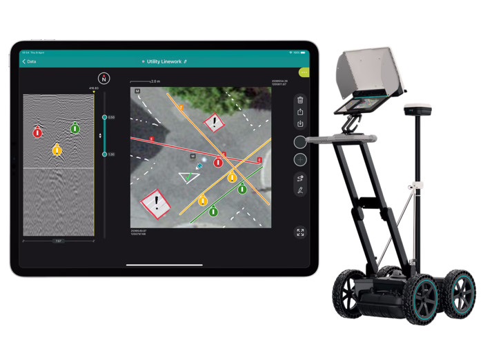
Proceq GS8000 Pro is a complete ground penetrating radar (GPR) solution for subsurface mapping. It combines advanced, versatile radar technology with robust, high accuracy sensors in ready-to-use systems designed for a wide range of inspection and mapping applications. Powerful software provides real-time 2D and 3D visualization, while an advanced cloud computing platform streamlines data analysis. The integrated Screening Eagle workflow improves productivity in both field and office environments.
Key Benefits
– Scan and digitize the subsurface efficiently in real time.
– View clear underground images in both 2D and 3D while walking.
– Record on-site findings directly on maps and export them to CAD/GIS.
– Access project data from anywhere at any time.
Versatility
The system supports diverse applications without methodology constraints. Real-time 2D and 3D visualization helps users interpret scanned subsurface data immediately, improving confidence and decision making on site.
Accuracy and Resolution
Unique Swiss Made ultra-wideband radar technology delivers exceptional data clarity across different depths. High accuracy geolocation in local coordinates supports precise mapping and reliable results.
User Experience
End-to-end workflows simplify every stage, from intuitive data acquisition to instantly shareable deliverables. Cloud connectivity ensures your inspection data remains accessible whenever and wherever it is needed.
Visualization modes: A-scan, Line Scan, Line Scan migrated, Time Slice View, Map View, Augmented Reality.
Display settings: Slice depth and thickness, Auto / linear / time gain, Background removal, Multi-layer dielectric constant, Time window, Noise cancellation filter, Frequency filter, Low pass filter, Color palette, Object layers.
Export format: SEG-Y, DXF, SHP, KML, HTML.